
Gurnee Neighbors by Public Source
Lake County and Village sources describe a block in layers. Maps Online and the Tax Parcel Viewer establish parcel adjacency. The county tax profile supplies public owner, situs, mailing, legal, district, and tax fields. Gurnee's block-party program shows a formal way for a street to gather, while boards, newsletters, and project pages show shared civic activity. No official neighborhood-association roster was located, so the public record should not be stretched into one.
| Public source | Block-level evidence | Limit |
|---|---|---|
| Lake County GIS | Touching parcels, roads, districts, and PINs | Map, not occupant proof |
| CCAO/Treasurer profile | Owner, mailing, situs, legal description, tax districts | Assessment display, not title |
| Gurnee block-party program | Official street gathering process | No participant roster |
| Boards and commissions | Named public civic roles and meetings | Public service context only |
| Historical directories | Dated household or address entries | Past edition, not current claim |
An owner can live elsewhere. A mailing addressee can be an owner, trustee, business, or other recipient. A renter may never appear in the parcel roll. State voter services and protected records have their own limits. Describe exactly what the field says instead of turning it into a claim about current Gurnee neighbors.
Walk a Gurnee Parcel Block
Start with one verified address and move only to parcels that touch it or face the same road segment. This keeps the task tied to physical geography. A parcel, also called a lot for tax purposes, has a PIN that follows it through county systems.
- Normalize the street line and locate the subject parcel in Lake County GIS.
- Note the PIN, legal subdivision, lot, road intersections, and boundary shape.
- Select each adjacent parcel and open its current tax profile.
- Copy owner, mailing, and situs fields into separate columns with the tax year.
- Check the deed index only when a recorded ownership question remains.
A full road search belongs in the Gurnee street directory. The block method stays close to one address and avoids sweeping up unrelated residents.
Ravinia Woods Field Example
An inspected Gurnee parcel illustrates how much context one tax profile can hold. The record identifies Ravinia Woods Unit 1, Lot 36, on Ravinia Drive. It separates the property location from the mailing line, lists Warren Township, Village of Gurnee, school districts, Gurnee Park District, and Warren-Newport Library, and offers tabs for conveyance, permits, maps, photos, and other parcel material.
Field lesson. Legal subdivision and lot define land. District names describe public-service geography. Neither field names every person who lives nearby.
The sample's mailing and situs lines happen to agree. That is not a general rule. Preserve both labels on every parcel so an absentee owner or alternate billing address does not become a false occupancy claim.
Gurnee Block Party Network
Gurnee has an official civic mechanism for meeting a block. The Village asks for a block-party request at least five business days ahead. The guidance calls for inviting all residents on the street, coordinates barricades, and notifies Police and Fire. Its Neighbor Up grant can provide up to $500 within the program's stated limits.
The Gurnee block-party program shows the public steps and responsibilities.
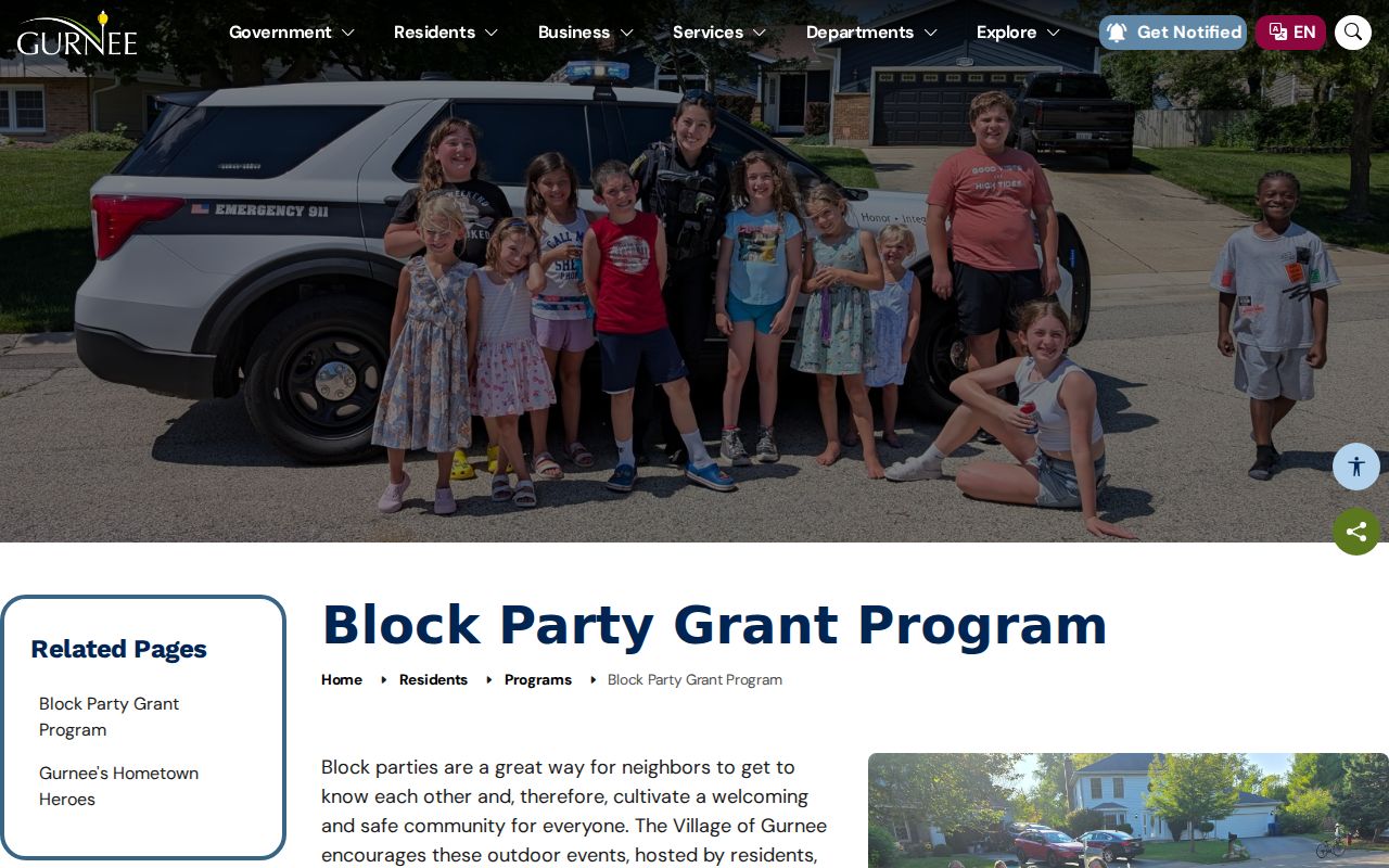
This program creates a lawful, open way to connect with Gurnee neighbors. It does not publish a household directory, and an event application should not be read as one.
Civic Directories for Gurnee Neighbors
When no public association roster exists, civic sources still show how residents can take part. Boards and commissions publish their public mission and meeting context. Village newsletters carry updates that affect more than one parcel. Projects in Progress identifies public work around roads and facilities. Business resources describe the commercial layer around a neighborhood.
| Gurnee source | Useful public detail | What it cannot establish |
|---|---|---|
| Boards and commissions | Public body and civic role | Private neighborhood membership |
| Village newsletters | Dated community notices | Every reader or recipient |
| Projects in Progress | Official project scope and updates | Who lives beside a project |
| Business resources | Public local business support | Residential occupancy |
Gurnee Boards Around the Block
The Village boards and commissions page is the official starting point for public civic bodies.
A published member or agenda entry documents a public role on a date. It should not be used to infer the person's private address, household, or relationship to nearby parcels.
The Gurnee newsletter page adds dated notices and local updates.
Pair a notice with the project or meeting record it cites. That gives the block useful civic context without inventing a resident list.
Projects Near Gurnee Neighbors
Construction and planning can explain what neighbors see on a street. The Village publishes public projects rather than requiring residents to rely on rumor.
Check Gurnee Projects in Progress for the current official description.
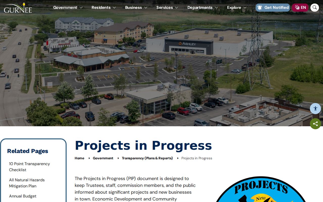
Record the update date and project limits. A project touching a road does not prove that each parcel on the road lies in the same district or phase.
The Village business resources page supplies another public layer.
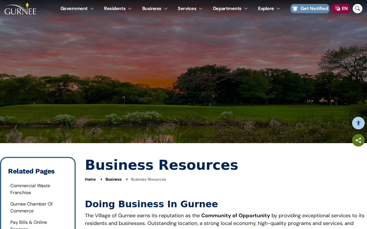
Business and civic records help explain the public life of a block. They do not replace parcel ownership or prove residence.
Official Records Beat Guesswork
Official block research and commercial neighbor tools have different incentives. County and Village records identify their custodian, field names, and dates. Commercial search results may blend old addresses, namesakes, and data from unknown sources. Use the official parcel and civic trail first, then verify any key point with the office that created it.
Official record trail
Named office, defined field, visible record date, and a correction route.
Commercial category
May be quick, but source age, match logic, and removal rules can be unclear.
For a seller, heir, family-history lead, or neighborhood project, save the URL, office, field label, date, PIN or document number, and a short caution about what the record does not show.
Map Gurnee Neighbors Carefully
Maps Online, Tax Parcel Viewer, and the Historic Parcels service serve different views. Current parcel tools locate nearby lots. The historical ArcGIS layer advertises a 1995 through 2024 time extent and can help compare a PIN or polygon across years. Its map disclaimer matters. A shape is not a person-history database, and a changed polygon may reflect a subdivision or data update rather than a move.
When two sources disagree, keep both dated values. Ask Lake County GIS for an authoritative boundary or address-assignment record instead of choosing the cleaner-looking map.
Address history can matter too. Lake County's dual-address program affected about 3,000 unincorporated properties and specifically names Oglesby Avenue and Park Road in the Gurnee area. If a current map, older directory, and deed use different street lines, retain every version beside the PIN. The mismatch may reflect an official standardization, not an error by the earlier source.
Privacy for Gurnee Neighbors
Public parcel fields do not expose every occupant, renter, child, phone number, utility account, or delivery record. Illinois voter data has purpose limits, and personalized registration tools are not block directories. Court, vital, juvenile, sealed, and expunged records follow separate access rules. The Illinois Address Confidentiality Program can provide a substitute address for new government records, though the program cannot promise confidentiality for existing property records.
Lawful use. Research Gurnee neighbors for civic awareness, family connections, property context, or personal safety. Never use a record to stalk, harass, intimidate, or harm anyone.
A no-result may mean that the person is not an owner, the portal has limited coverage, the address changed, or access is protected. It is not proof that someone does or does not live on the block.
Historical work needs the same restraint. Warren-Newport Public Library's local-history binders and nearby Waukegan directory and newspaper collections can place a dated name at an address. Cite the edition, page, repository, and research date. An old directory entry should stay an old entry. Confirming it does not authorize contact, and it cannot support a claim about the current household.
Corrections belong with the source. A parcel owner or mailing error goes to the county tax office. A map or assigned-address issue goes to GIS. A Village project record goes to the department that published it. Keeping those routes separate makes a Gurnee neighbors search more accurate and gives the affected person a clear way to challenge a bad field.
Public-record requests should stay narrow. For a Village street closure, board record, permit, or project document, describe the record, address, department, and date range under the Illinois Freedom of Information Act. County parcel and recording records should go to their county custodians instead. A focused request is easier to locate and less likely to sweep in private material. Illinois FOIA normally provides five business days for a noncommercial response, with a possible five-business-day extension, but exemptions and record-specific laws still apply.
Older block research may also pass through Warren Township and local libraries. Mother Rudd House preserves Gurnee and Warren Township history, while the Warren-Newport and Waukegan library network offers binders, directory editions, newspapers, microfilm, and obituary help. These collections add time and place to a parcel trail. They do not supply a current private roster or justify unwanted contact at all.