
Gurnee ZIP Directory Coverage
Gurnee's main postal reference is 60031. The USPS location record places the Gurnee Post Office at 1 North O'Plaine Road and gives the full line as Gurnee, IL 60031-2601. That confirms a postal format, not incorporation. The Census Bureau also publishes 60031 as a ZIP Code Tabulation Area, or ZCTA, a statistical shape made from census blocks. Its 2020 population was 37,650, larger than the incorporated Village count. The gap is a clear warning: postal, statistical, township, and municipal areas answer different questions.
| Postal key | Area represented | Official checkpoint | How to read it |
|---|---|---|---|
| 60031 | Gurnee postal area | USPS Gurnee Post Office | Mailing geography; do not treat it as the Village line |
| 60031 ZCTA | Census statistical geography | 2020 Census ZCTA | Useful for population data, not individual identity |
| 60031-2601 | ZIP+4 for the post office address | USPS location record | A delivery segment within the larger ZIP |
Village Hall and Warren Township offices both use Gurnee, IL 60031, yet township and Village authority are not interchangeable. A resident-record search should retain the exact postal city and ZIP while checking the assessor's municipality, township, tax code, and map. No complete official Gurnee ZIP-boundary file was located in the research. For a disputed edge, use USPS for mail and Lake County GIS for jurisdiction.
Search 60031 Parcel Fields
The Lake County advanced property search accepts address number, street, city name, township, and ZIP. Begin with the least amount of text that still narrows the results. Street suffixes and directionals can vary, so a clean ZIP plus street search often works better than copying an informal address. Then open the parcel profile and read its public fields.
| Search control | Best use in a Gurnee ZIP lookup |
|---|---|
| Address No. | Narrow one numbered site |
| Street | Group parcels on the same named road |
| City Name | Test the portal's municipal or mailing label |
| Township | Confirm Warren Township context |
| ZIP | Limit results to the supplied postal code |
A result may expose situs, mailing, owner, legal subdivision, tax code, and district fields. Situs means the parcel's physical location. Mailing is where a bill or notice goes. Keep them separate, even when they happen to match.
Gurnee ZIP Search Sequence
A ZIP filter becomes useful when each later source has a clear purpose. Do not infer a private household roster from a postal area.
- Validate the full address with USPS, including direction, suffix, unit, city line, and ZIP+4 when returned.
- Search the Lake County parcel portal by ZIP and street, then save the PIN and the situs field.
- Open Maps Online or the Tax Parcel Viewer to test the municipal line and nearby parcel geography.
- Use a PIN or exact address in the Clerk's Official Record Search when a recorded deed is relevant.
- Label every result with its source and date. A tax year, recording date, and Census vintage are not the same.
Once the result has narrowed to a named road, the Gurnee street directory explains the address-level record chain.
60031 Is Not Gurnee
The ZIP code directory separates three boundaries that are easy to merge by mistake. USPS assigns a preferred mailing city. The Census creates a ZCTA to tabulate statistics. Lake County and the Village maintain legal and administrative geography. A line can say Gurnee for mail while the parcel record identifies a different municipal status.
Myth check. A 60031 address does not by itself prove Village residency. Confirm the parcel's municipality and map location before making a civic or historical claim.
The same caution applies to voter service. Lake County Voter Power is a personalized lookup, not a public ZIP-wide resident list. Illinois voter files also have statutory purpose limits. Use the official service to confirm your own registration and polling details, not to assemble names around a ZIP.
Gurnee Dual Address Records
Lake County's 2019 dual-address program addressed roughly 3,000 unincorporated properties with two recognized address forms. Official examples include Oglesby Avenue and Park Road in the Gurnee area. That local issue matters when an old directory line, USPS result, parcel profile, and deed index do not agree.
The Lake County dual-address page shows the official program used to standardize those records.
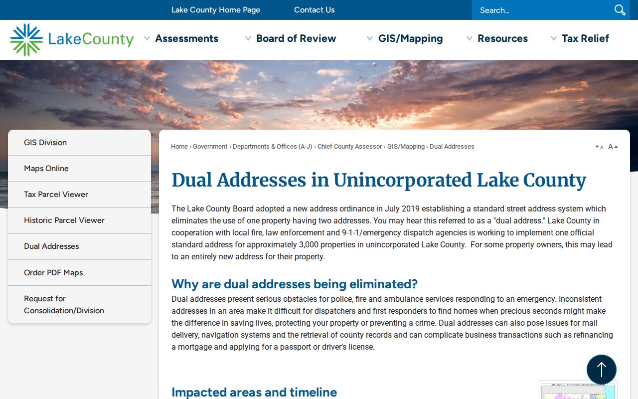
Preserve both address strings, the PIN, the source date, and the office that assigned the newer form. Silently replacing an older address can break a deed, directory, or obituary trail.
Gurnee Postal Checkpoints
The official USPS location page is the best source for the current post-office identity and mailing format. Hours are live operational facts, so verify them on the day of a visit.
Open the USPS Gurnee location record before relying on a stored mailing line.
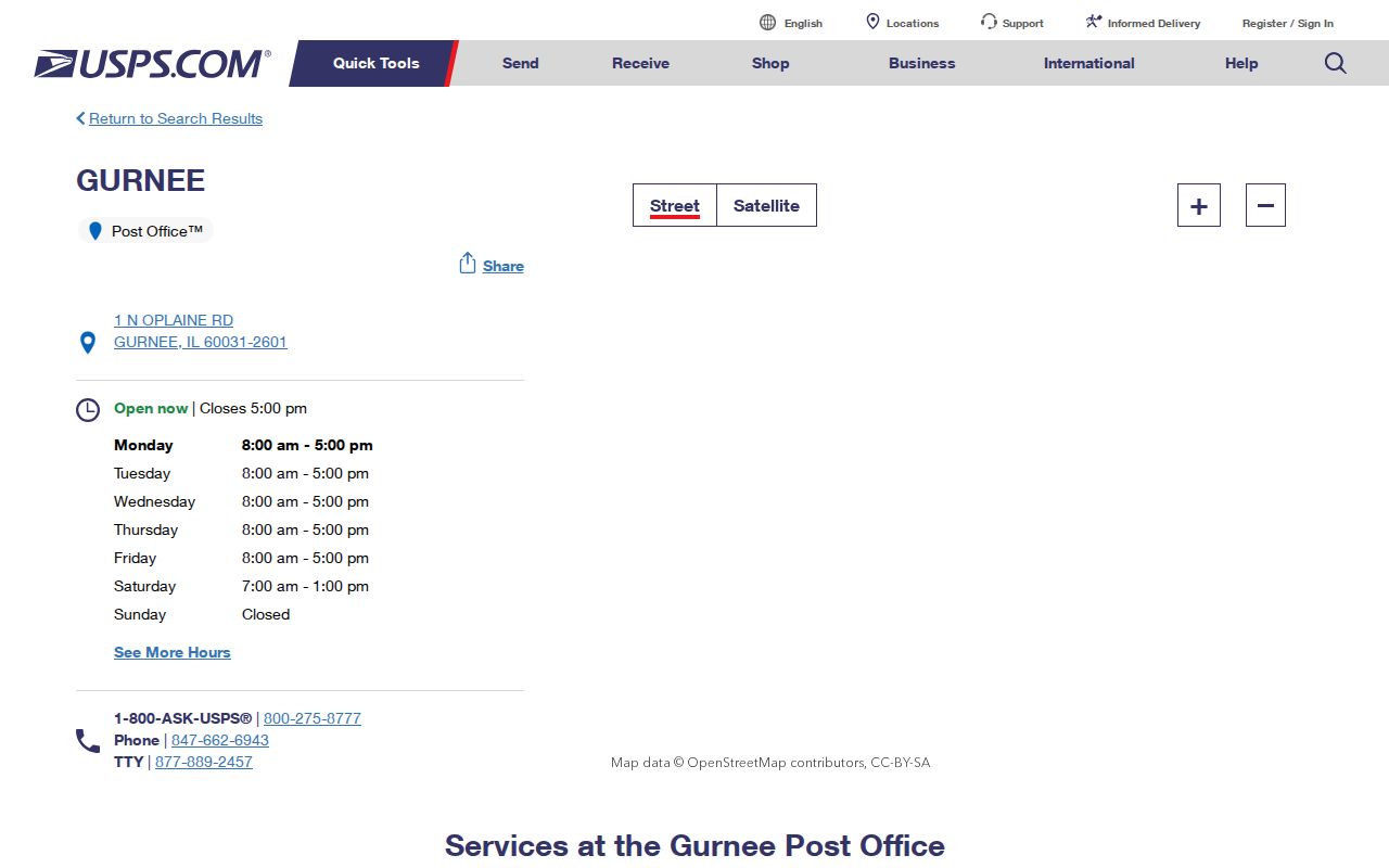
The page confirms the postal source. It does not state who occupies an address, who owns a parcel, or which side of a Village boundary the site occupies.
ZIP Terms for Gurnee Records
These terms describe mail operations and statistical geography. None is a substitute for a dated parcel or recorded instrument.
- ZIP code
- A USPS routing code for mail delivery.
- ZIP+4
- The five-digit ZIP plus a four-digit delivery segment.
- ZCTA
- A Census statistical area built to approximate a ZIP for published data.
- Carrier route
- A delivery path within a postal area, not a city district.
- Unique ZIP
- A code assigned to one high-volume organization; no such Gurnee code was established in the research.
Gurnee Maps Keep Changing
Lake County scheduled changes to Maps Online and the Tax Parcel Viewer in 2026. A new interface can improve access, but it does not make the underlying deed, tax, or boundary record new. Save the inspection date and note which layer supplied the fact.
The county's municipalities and townships resource is a useful jurisdiction checkpoint.
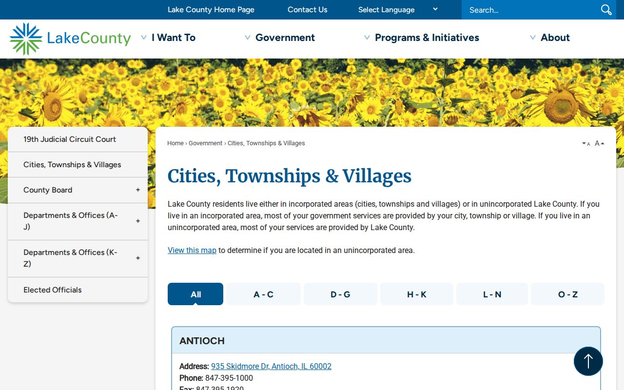
Use it beside the parcel viewer when the postal label and local-government field appear to conflict.
A good research note names the exact map layer, its update or inspection date, and the field copied from it. Keep a screenshot or citation when the interface permits. If an old address falls outside the current shape, compare the Historic Parcels service, which advertises a 1995 through 2024 time extent. A changed PIN or polygon can explain why a present search misses a past record. It still does not identify a household.
Finding Gurnee Residents by ZIP
A ZIP code directory can reduce a broad search, but the official match must come from the right custodian. The assessor can return parcel records filtered by ZIP. The recorder can connect names to recorded instruments through an address or PIN. Census data describes groups, not named people. Voter Power verifies one user's registration details and should not be treated as a neighborhood roll.
For family history, retain the postal line found in each dated source. Then compare it with city directories, deeds, and maps from the same period. A current 60031 label should never be copied backward into an older record unless a source supports it.
Recorded land documents require another distinction. The Lake County Clerk's Land Records search displays coverage from 1980 forward, while its Historical Record route reaches handwritten grantor and grantee books from 1841 through 1979. Older instruments may lack a PIN, so search the party names and date range as well as the address. Grantor means the party conveying an interest; grantee means the party receiving it. A deed index row is a lead to the recorded document, not proof of current residence.
FOIA is the fallback for a specific government record that has no public search. Gurnee and Illinois follow the Freedom of Information Act, 5 ILCS 140. Describe the office, record type, address or PIN, and date range. Do not ask for every record about every person in a postal area. Courts, vital records, voter files, and restricted records follow their own access laws, so a general FOIA request cannot bypass those rules.
Certified copies require the custodian's own process. The Lake County Recording Division accepts several copy-request channels and maintains public terminals. Its fee schedule and availability can change, so confirm the current amount before ordering. A portal preview may be enough to identify a document number, but legal or estate work may call for the office-issued copy. Keep the receipt and certification separate from the research notes.
The best final result states the postal code, exact address, parcel PIN, jurisdiction, record date, and source office. If one field remains uncertain, label it unresolved instead of forcing agreement. That small habit protects the integrity of genealogy, heir, property, and civic research.
Gurnee ZIP and Village Limits
End with the legal geography. Read the parcel's municipality, township, tax code, and GIS position together. If the source only shows 60031, describe the place as a Gurnee postal address, not automatically as an incorporated Village address. This careful label keeps Census comparisons, public-record requests, and historical citations honest.
For numerical comparisons, match like with like. The 2020 ZCTA population belongs to a Census statistical boundary and vintage. A Village estimate belongs to the incorporated municipality and its stated date. Neither count is a directory of named residents. The difference is useful because it shows why a postal search can return addresses beyond the local government area a reader intended.